ITM Panama
ITM Panama !
-
Lang leve de specialist
Alles wat wij doen en verkopen is fietsvakantie-gerelateerd.
-
Fietsen maakt het hoofd leeg en het hart open
Even niet presteren. Beginnen, en de rest komt vanzelf op je af.
-
Eenvoudig gelukkig is gelukkig eenvoudig
Misschien wel de grootste rijkdom van een fietsvakantie.
Productomschrijving
Video Product

Productomschrijving
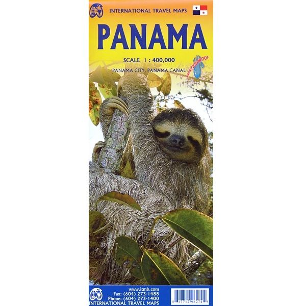
ITM Panama - 1:400.000
Als er voor een land of streek helemaal geen kaart meer te vinden is om te fietsen dan hebben we gelukkig altijd nog de ITM-kaarten (International Travel Map). De schaal lijkt voor de fietser te grof, er kan echter goed mee gefietst worden. Meer wegen dan op de kaart staan zijn er meestal gewoonweg niet, zelfs de dirt-roads zijn meestal nog terug te vinden. Veel kaarten zijn inmiddels waterbestendig. Hoogte wordt aangegeven middels kleurvlakken.
Over de kaart van Panama
Panama on an indexed, double-sided map from ITMB, printed on waterproof and tear-resistant plastic paper, with large, clear street plan of central Panama City highlighting various places of interest and tourist facilities, including 18 selected hotels.
The map divides the country east/west, with some overlap between the two sides. Topography is shown by altitude colouring with spot heights and names of mountain ranges. Swaps, mangrove and salt marshes are marked, and national parks or protected areas and Indian Reserves highlighted.
The map shows the country’s road network with locations of petrol stations and border crossings, plus railways and local airports or landing grounds. Internal administrative boundaries are shown with names of the provinces. Symbols highlight various places of interest, archaeological sites, hot springs, beaches, diving or surfing sites, fishing areas, turtle protection zones, etc. Also marked is the course of the Trans-Panamanian oil pipeline. The map is indexed and has latitude and longitude lines at intervals of 30’.
A large inset shows the central part of Panama City, indicating 18 selected hotels, places of interest and various facilities.
Legend Includes:
Roads by classification, rivers, lakes, national parks and protected areas, airports, ports, gas stations, police checkpoints, museums, beaches, hot springs, archeological sites, lighthouses, viewpoints, outdoor activities, points of interest and other information.
Hoofdkenmerken op een rij
| Schaal | 1:400.000 |
|---|---|
| Taal | Engels |
| Uitgever | itm |
| Jaar van uitgave | 2023 |
| Artikelnummer | 493546 |
| EAN / ISBN | 9781771296274 |

