ITM Yellowstone National Park & Wyoming
ITM Yellowstone National Park & Wyoming
-
Lang leve de specialist
Alles wat wij doen en verkopen is fietsvakantie-gerelateerd.
-
Fietsen maakt het hoofd leeg en het hart open
Even niet presteren. Beginnen, en de rest komt vanzelf op je af.
-
Eenvoudig gelukkig is gelukkig eenvoudig
Misschien wel de grootste rijkdom van een fietsvakantie.
Productomschrijving
Video Product
Productomschrijving
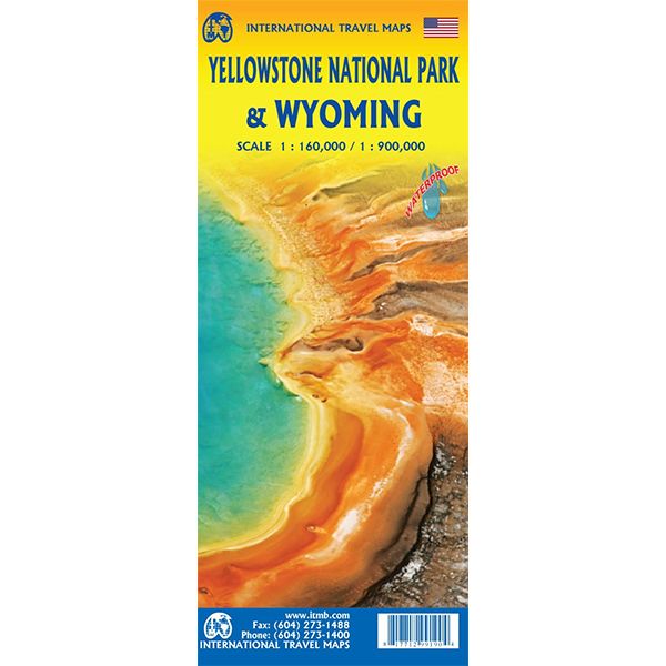
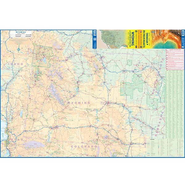
ITM VS - Yellowstone NP & Wyoming - 1:160.000 / 1:900.000
Als er voor een land of streek helemaal geen kaart meer te vinden is om te fietsen dan hebben we gelukkig altijd nog de ITM-kaarten (International Travel Map). De schaal lijkt voor de fietser te grof, er kan echter goed mee gefietst worden. Meer wegen dan op de kaart staan zijn er meestal gewoonweg niet, zelfs de dirt-roads zijn meestal nog terug te vinden. Veel kaarten zijn inmiddels waterbestendig. Hoogte wordt aangegeven middels kleurvlakken.
Over de kaart van VS - Yellowstone NP & Wyoming
The USA is a vast and wonderful land to explore. ITMB is steadily increasing our coverage of this important travel destination and this month concentrates on the State of Wyoming, with a detailed travel map on one side, including small portions of adjacent states of Utah, Colorado, Nebraska, South Dakota, Montana, and Idaho. The state is lightly populated, with Cheyanne as its capital and main city. Interstates 80 and 90 both traverse the state, with Interstate 25 being the only north-south motorway. Yellowstone National Park occupies the northwest corner of the state and also occupies the second side of the sheet with an extremely detailed map. Yellowstone is the first area in the world to be proclaimed as a national protected area (Banff was second), and Yellowstone remains the paramount preserved wilderness environment in the world. There are several small urban areas within the park for accommodations and servicing, such as West Thumb, Canyon City, and Mammoth Hot Springs. The main attraction of the park are the geysers such as Old Faithful. All of these are enhanced by having detailed inset maps to assist visitors. The map also includes most of the adjacent Grand Teton National Park. This is one of those must-see-before-I-die places; truly wondrous! Printed on biodegradable waterproof stone paper for durability.
Legend Includes:
Roads by classification, Rivers and Lakes, National Park, Airports, Points of Interests, Mining, Highways, Main Roads, Zoos, Fishing, , and much more...
Hoofdkenmerken op een rij
| Schaal | 1:160.000 / 1:900.000 |
|---|---|
| Taal | Engels |
| Uitgever | itm |
| Jaar van uitgave | 2020 |
| Artikelnummer | 703806 |
| EAN / ISBN | 9781771299190 |

