ITM British Colombia South
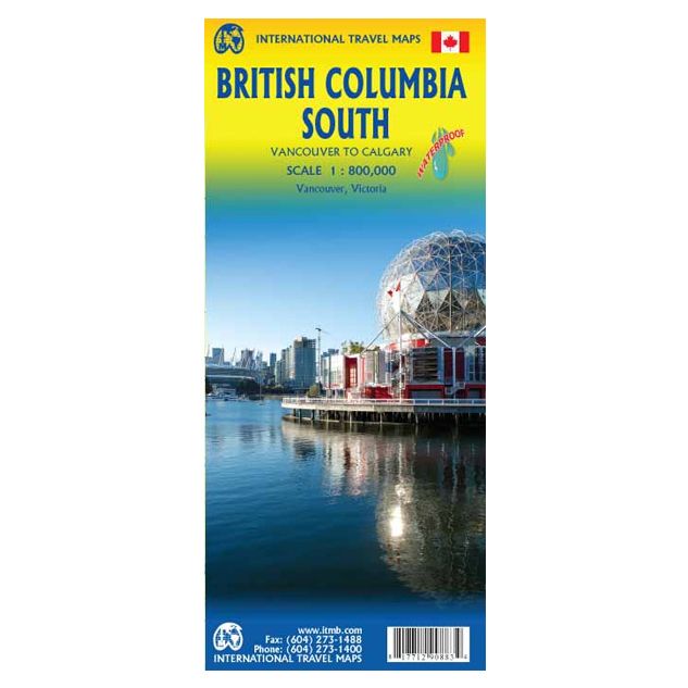
ITM British Colombia South !
-
Lang leve de specialist
Alles wat wij doen en verkopen is fietsvakantie-gerelateerd.
-
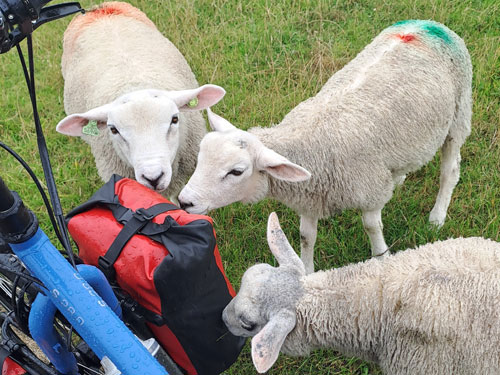
Fietsen maakt het hoofd leeg en het hart open
Even niet presteren. Beginnen, en de rest komt vanzelf op je af.
-
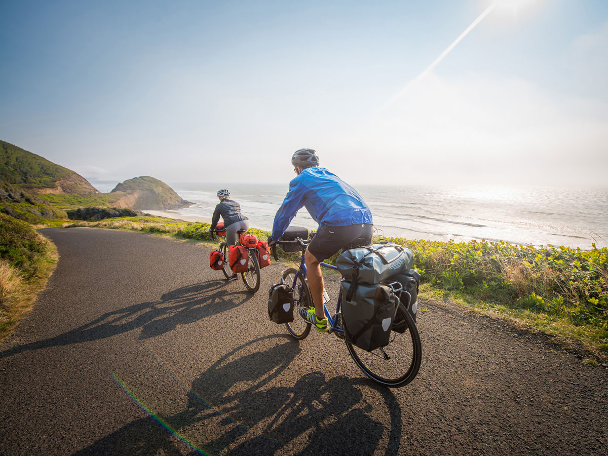
Eenvoudig gelukkig is gelukkig eenvoudig
Misschien wel de grootste rijkdom van een fietsvakantie.
Productomschrijving
Video Product
Productomschrijving
ITM British Columbia South - 1:800.000
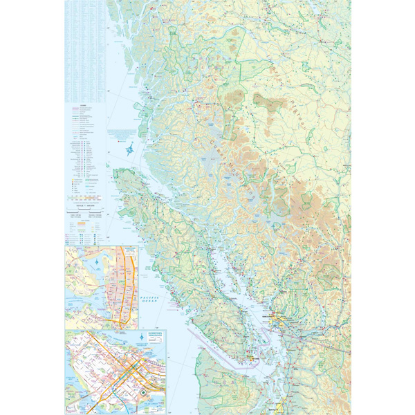
Als er voor een land of streek helemaal geen kaart meer te vinden is om te fietsen dan hebben we gelukkig altijd nog de ITM-kaarten (International Travel Map). De schaal lijkt voor de fietser te grof, er kan echter goed mee gefietst worden. Meer wegen dan op de kaart staan zijn er meestal gewoonweg niet, zelfs de dirt-roads zijn meestal nog terug te vinden. Veel kaarten zijn inmiddels waterbestendig. Hoogte wordt aangegeven middels kleurvlakken.
Over de kaart van British Columbia South
The ITM map of the southern half of British Columbia is one of our most popular titles. It covers the area between Vancouver and Calgary, but more importantly, includes everything from the westernmost edge of Vancouver Island to a line just east of Calgary and from Seattle north to a ways beyond Prince George. Thus the entire Rocky Mountain stretch of national parks from Banff north to Jasper is included. BC is mountain country, with few motorways, but those that exist are shown in blue. The Trans-Canada Hwy 1 between Kamloops and Banff is in the process of being upgraded to motorway levels, but this is a project taking many years to complete, so for the moment, we are showing only the portions in Alberta as being consistently complete. The map also includes inset maps of downtown Vancouver and Victoria. BC is as large as Western Europe, with a population of just over 4 million, so is wilderness country for 98% of its area. This map would be excellent for someone planning to fly in to Calgary and rent a motorhome for two weeks, or for someone wanting to explore the back roads and camping sites of an interesting part of the world. This edition has been printed on waterproof paper made from crushed stones. It is tear-resistant, durable, and completely biodegradable.
Hoofdkenmerken op een rij
| Schaal | 1:800.000 |
|---|---|
| Taal | Engels |
| Uitgever | itm |
| Jaar van uitgave | 2015 |
| Artikelnummer | 314604 |
| EAN / ISBN | 9781771290883 |