Het is erg druk, mogelijk duurt het ietsje langer voordat uw pakje ingepakt is dan u van ons gewend bent.
- Voor 15:30 besteld, zelfde werkdag weg
- Verzending € 3,50 of € 5,95 (NL)
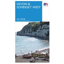
Dartmoor South Devon Cycling Map
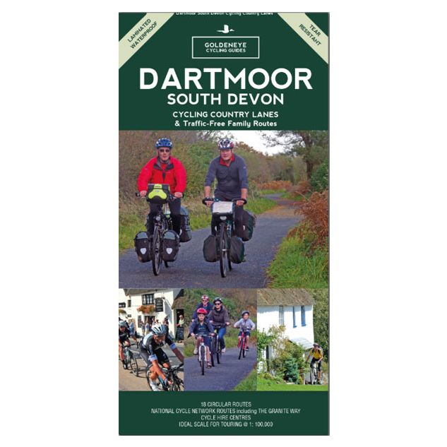
Dartmoor South Devon Cycling Map
Speciale prijs
€ 7,74
Normale prijs
€ 12,90
-
Lang leve de specialist
Alles wat wij doen en verkopen is fietsvakantie-gerelateerd.
-
Fietsen maakt het hoofd leeg en het hart open
Even niet presteren. Beginnen, en de rest komt vanzelf op je af.
-
Eenvoudig gelukkig is gelukkig eenvoudig
Misschien wel de grootste rijkdom van een fietsvakantie.
Productomschrijving
Productomschrijving
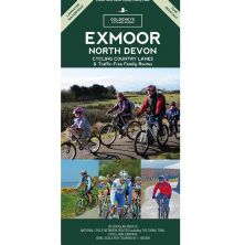
Dartmoor South Devon - Cycling country lanes
Our maps are double-sided, printed on an A2 sheet with a concertina fold. This allows for easy folding and folding, and an ease of access to the mapping. The material is rain and tear-resistant. Our early maps were designed at the scale of 2 miles to 1 inch/1:126,720. The later designs along with digitalisation are 1: 100,000. We were encouraged by the Cycle Touring Club to convert our cartography toward the cycle market (to replace the out-of-print Bartholomew series). As time and the series progressed we have added more data: The National Cycle Network routes, Regional Routes, and Traffic-Free Family Routes, as and when they are developed. These routes are in addition to the Circular Routes Goldeneye Commissioned at the outset of our publishing schedule. We are also adding to new editions; bike shops, cycle hire, and tea rooms, along with the tourist attractions already featured. Our plan is to make available digital versions for cell phones and tablets and to update, on an annual basis.
National Cycle Network (NCN)
This is a linked series of traffic-free paths and traffic-calmed roads being developed across the UK linking town centres and the countryside. The so-named route numbers do not always join up as the overall planned route has not yet been completed and sometimes they overlap with other routes. sustrans.org.uk
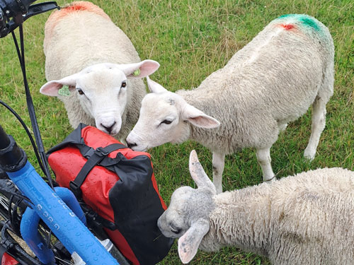
Dartmoor. One of England’s greater National Parks; the Forest of Dartmoor covers 365 square miles and contains the highest ground in England south of the Peak District. On its desolate moorland tracks the wanderer can believe they are further from a public road than anywhere in the country, but on the fringes lush valleys lead down on every side to thick woodland, green vegetation and picturesque villages. Dartmoor is well known for its wildlife - attractive herds of ponies, seemingly wild but in fact individually owned, foxes, badgers and otters - also the occasional adder. Fallow, roe and Sitka deer can often be seen, but the red deer of Exmoor have never penetrated the area. Buzzards, kestrels and various Birds of Prey are frequently seen, as well as the wheatear, while crows, ravens and the skylark are fairly commonplace. The Moor abounds in prehistoric remains. There are also many deserted medieval villages with remains of the traditional ‘longhouse’ buildings. For centuries tin mining has been an important activity and there is much to interest the industrial archaeologist, including abandoned tramways and railways of more recent times - notably the Princetown Railway, once the highest railway line in England, now a moderately easy mountain bike track.
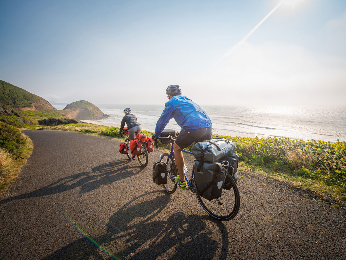
The South Hams. Stretching from Plymouth to Salcombe and Start Point, and up the eastern coastline to Dartmouth. This curiously named area, based on the old English name ‘Hamme’ meaning enclosed or sheltered place, is one of rocky coasts and beaches broken up by the tidal estuaries of the Yealm, Erme and Avon, and the lovely stretch of water below Kingsbridge with its quiet creeks delving far inland. High cliffs mostly dominate the coastline, but here and there are attractive little villages of thatched cottages; Wembury, Bigbury, Inner and Outer Hope. Inland is a pastoral landscape of rolling hills and red-earthed fields bisected by twisty roads beneath high hedges.
So, if you seek the peace of quiet country lanes, the beauty of lush river valleys and the heaven sent views across Dartmoor, afforded by flat ridges which soon swoop you down to picturesque villages with tea rooms awash with clotted cream, and hospitable inns. Look no more. It is all here. Happy Cycling, Al Churcher
Recommended Routes/Trails
National Cycle Network (NCN)
1. Devon Coast to Coast (NCN Route 27) Ilfracombe to Plymouth 164km/102 miles, 51km/32 miles of continuous traffic-free trail from Braunton-Meeth. Joins the Granite Way at Okehampton (see above), and from Lydford follows the western fringes of Dartmoor to Tavistock, and south from there to more traffic-free sections along the superb Drake’s Trail, (see above) leading to Plymouth Ho! (B7)
2. Southern Coastal Route (NCN Route 2) Plymouth to Dorset, and beyond. This is currently being developed and is planned to pass through Totnes, Newton Abbot, and beside the Teign Estuary, Teignmouth, Dawlish, beside the Exe Estuary to Exeter, and on through Sidmouth, Seaton and Axminster.
Regional Routes
a) Plymouth to Totnes 32 km/20 miles. Suitable for commuting and utility cycling. From Plymouth (Deep Lane, A38 flyover), the route parallels the A38 trunk road through Lee Mill, Ivybridge and South Brent. Branching out to Rattery, Dartington and Totnes along quiet lanes. (B7)
b) Totnes (Ashprington) to East Portlemouth. From Ashprington the route follows quiet, country lanes to Blackawton. With some challenging hill sections offering fine views. Passenger ferry carries cycles between East Portlemouth and Salcombe. Follow NCN2 signs all the way. (F7) Traffic-Free Family Routes
Traffic-Free Family Routes/Trails
1. The Granite Way (NCN Route 27) 18km/11 miles. Ideal family cycling between Okehampton and Lydford along former railway with superb views of Dartmoor and the West Devon countryside. Crossing two spectacular viaducts; Meldon and Lake. With short, on-road section via Bridestowe, continuing to Lydford (& Café) along former railway line. (C3)
2. Drake’s Trail. This is a 21-mile cycling and walking route between Plymouth (formerly the Plym Valley Cycle Track to Clearbook) and Tavistock. It is part of the National Cycle Route 27 (Devon Coast-To-Coast). It follows the western edge of Dartmoor beside and through spectacular scenery, passing through tunnels and over bridges. A shared path, ideal for families with pushchairs and dogs, or those in wheelchairs. Marsh Mills and Plymbridge are good start-off points for short excursions. drakes trail.co.uk
3. Totnes – Dartington Riverside Trail (NCN Route 2) 4km/2.5 miles. Easy family trail along path beside the River Dart linking Totnes town centre with the Dartington Cider Press Centre. (F7)
4. Totnes – Ashprington (NCN Route 2) 3.5 km/2 miles. Cycling path along the Dart Estuary overlooking the river and undulating countryside entered along Sharpham Drive to Ashprington. (F7)
5. Exe Cycle Route (NCN Route 2) 7km/4 miles. Easy family trail along the canal linking the centre of Exeter with the head of the Exe estuary. Passes Nature Reserves and Exeter Quay plus new Millers Crossing with link to the rail station, Exeter St David’s. (G3)
Hoofdkenmerken op een rij
| Schaal | 1:100.000 |
|---|---|
| Taal | Engels |
| Uitgever | Goldeneye |
| Jaar van uitgave | 2017 |
| Artikelnummer | 345965 |
| EAN / ISBN | 9781859652473 |
Reviews
Schrijf uw eigen review
Vergelijkbare artikelen